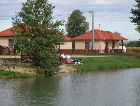

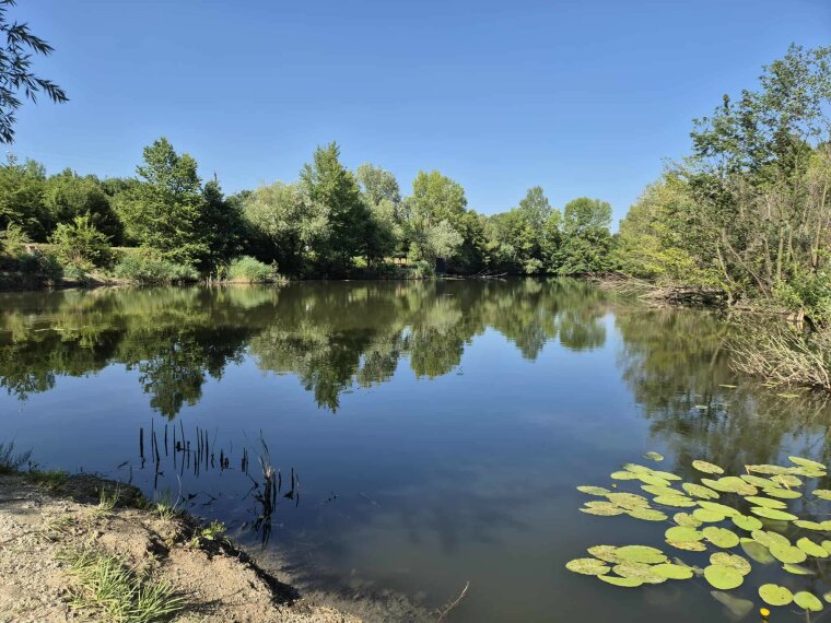
Gencsapáti fishing lake
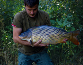
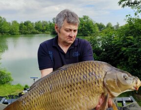
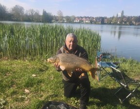
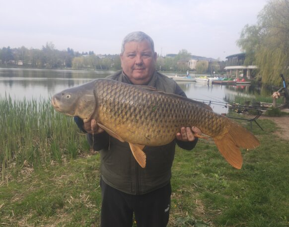
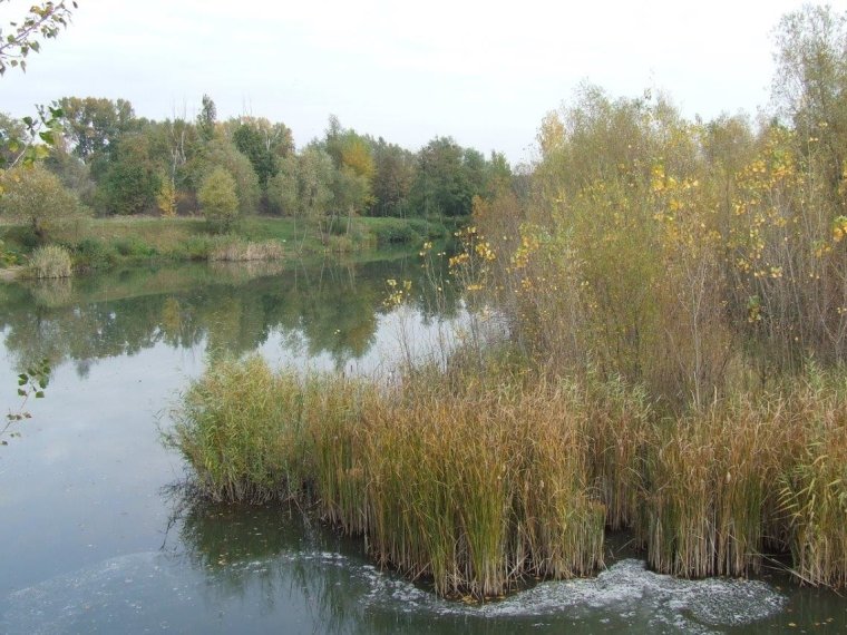
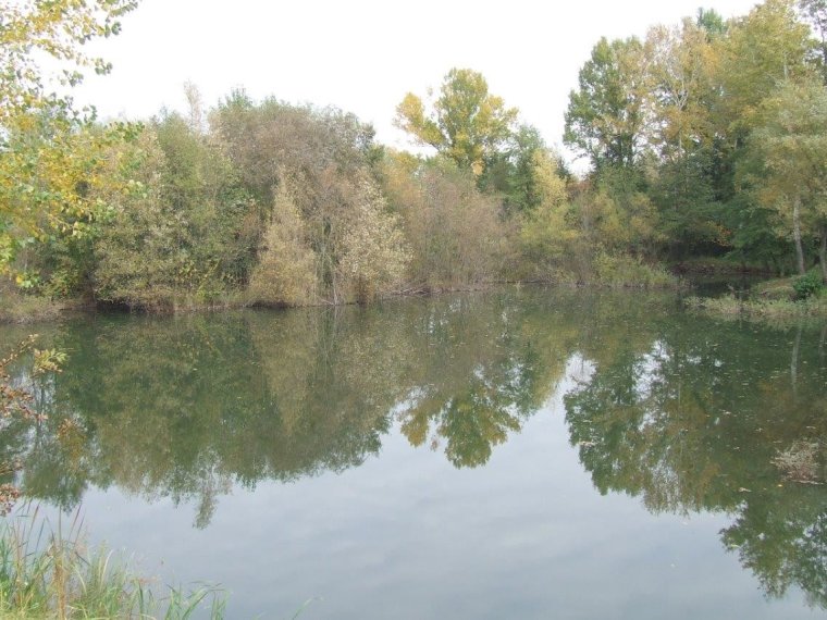
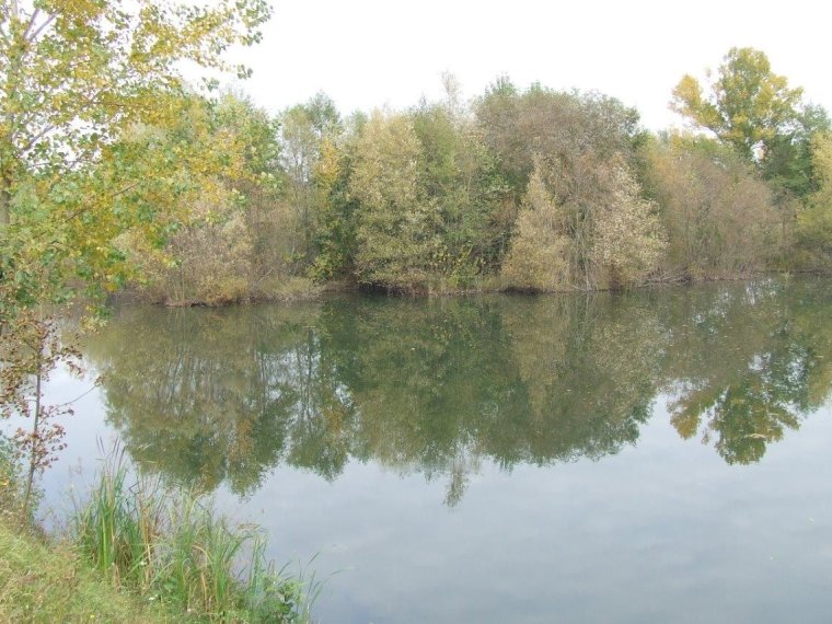
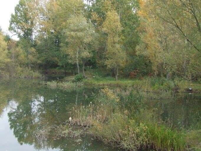
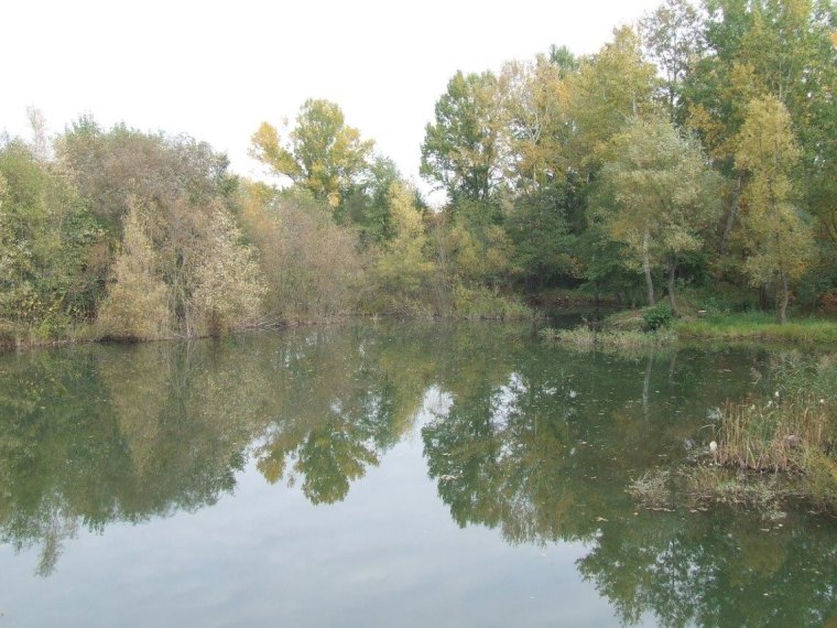
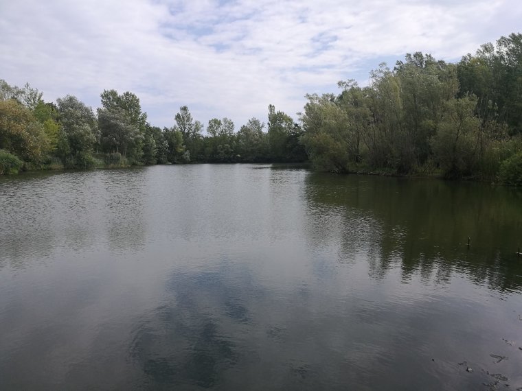
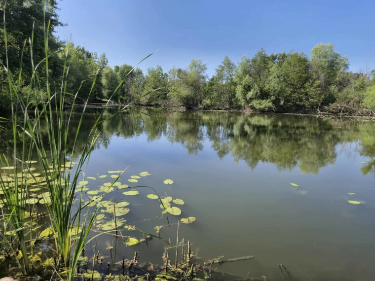
ShareThe lake is located on the border of the villages of Gencsapáti and Perenye. The typical fish of this small, but all the more atmospheric fishing lake are carp and bream. Its indented shore is surrounded by reeds and sedge. The riverbed is extremely varied, the average depth is 1.5 m. As a result of the developments, the lake can be reached by a comfortable gravel road. There are several fishing lodges on the lake, equipped with stairs, which provide safe fishing opportunities on the wild, romantic lake, which is barely more than one and a half hectares.
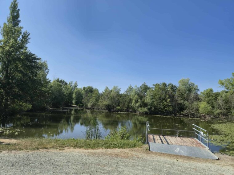
Fishing is only allowed on the sides facing the road. The vegetation on the shore is characterized by small bushes and narrow rows of trees. There is a small island in the middle of the lake, the area around which is a popular area for fish. The pike finds many hiding places and food in the lake, which is why it is one of the main predatory fish of the water area.

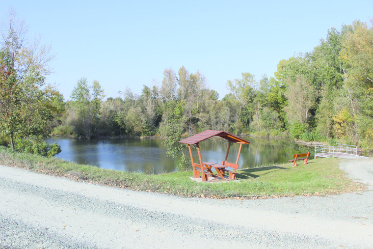
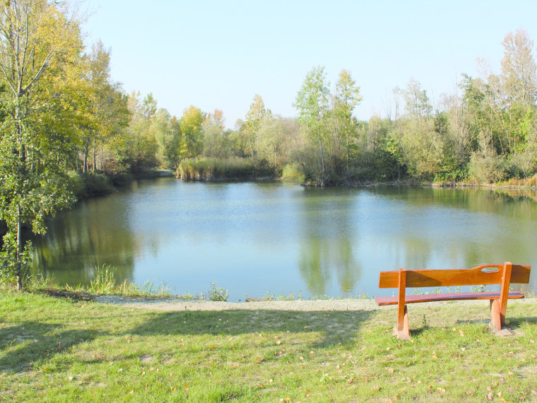
There is a resting area at the beginning and end of the fishing section of the lake, which provides an excellent opportunity for a little waterside potluck.
Thanks to the renovation, anglers arriving by car can conveniently park their vehicles next to almost every fishing spot.


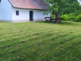
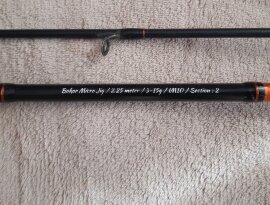
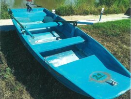
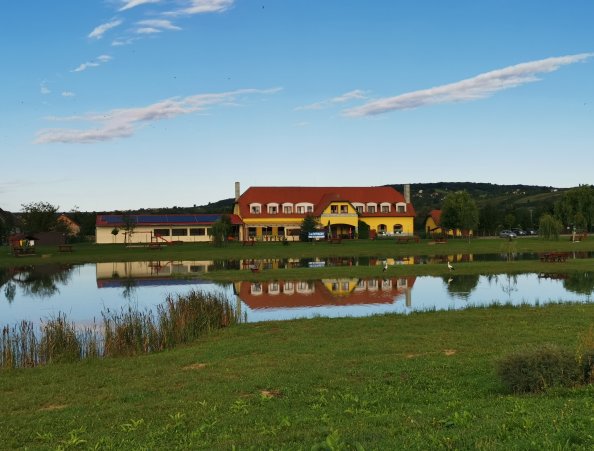
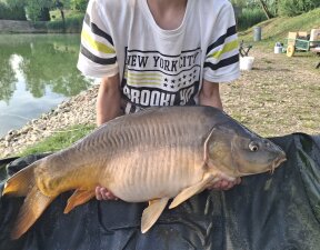
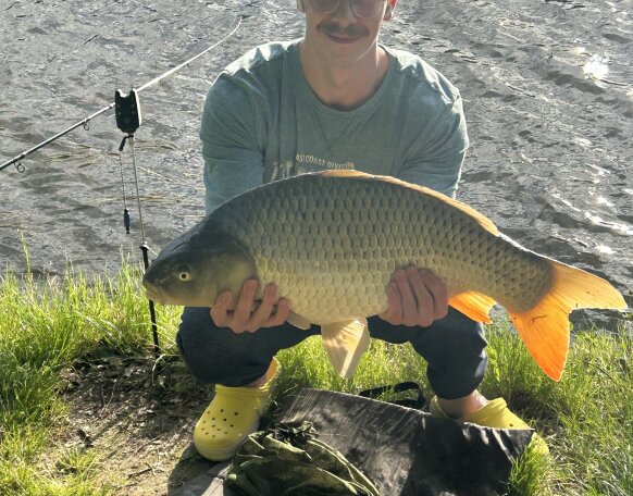
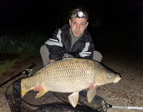
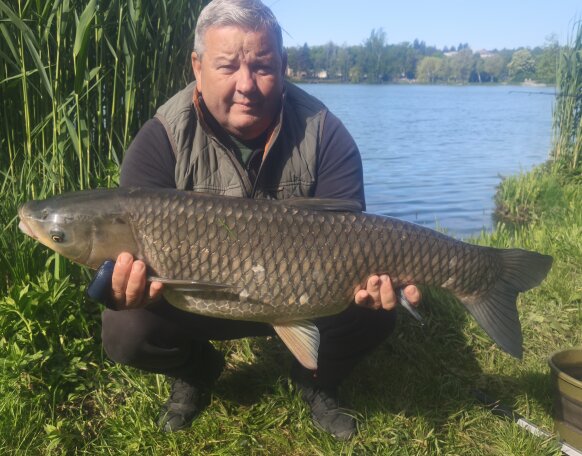
Gallery


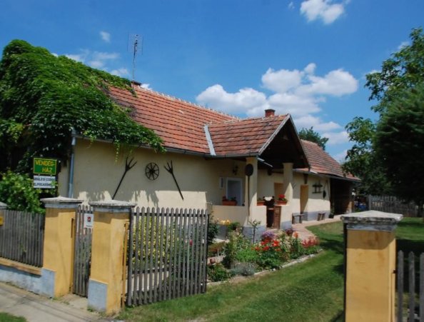
Nearby ticket dealer fishing shops
- Mini-Zoo Ornamental Animal and Fishing Shop (9700 Szombathely, Szily János u. 17)
Related ticket consignee
- Electricians Sport Fishing Association (9700 Szombathely, Király u. 13.)
- Spartacus Fishing Association (9700 Szombathely, Kisfaludy S. u. 1.)
- Szombathely Pannonian Fishing Association (9700 Szombathely, Rohonci u. 13.)
- Vas County Savaria Sports Fishing Association (9700 Szombathely, Petőfi u. 41-43.)
info
Average depth: 1,5
Bed / Bottom: slightly muddy
Stalls: sometimes noisy
Vegetation: reeds, willows, shrubs
Emil Tóth, fishing guard
Phone: +36 70 774 4558
Gencsapati, located in the immediate northern vicinity of the county seat, can be reached by turning off road 8 towards Szombathely. In Gencsapati, heading towards Kőszeg, a sign indicates Perenye. A dirt road leads to the lake, which branches off the main road after the bridge over the Gyöngyös stream and Perint stream.
GPS coordinates:47.29098647, 16.58620119