Vasvári Boating Lake
ShareThe origin of the lake can be traced back to 1965, when the Csörnöc-Herpenyő stream overflowed with a large flood. In order to prevent another flood, the local population began to build a circular embankment, for which the earth was excavated from the site of the current lake.
The pit created in the place of excavated soil quickly became a fishing pond. From 1968, the newly born fishing water was already fished. The lake was further developed in 1992, thanks to which the city of Vasvár can boast of two still waters today.
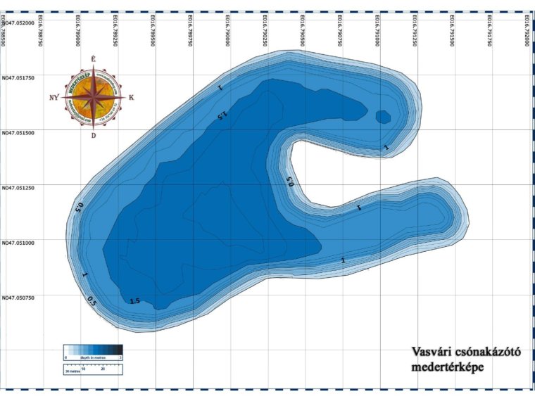
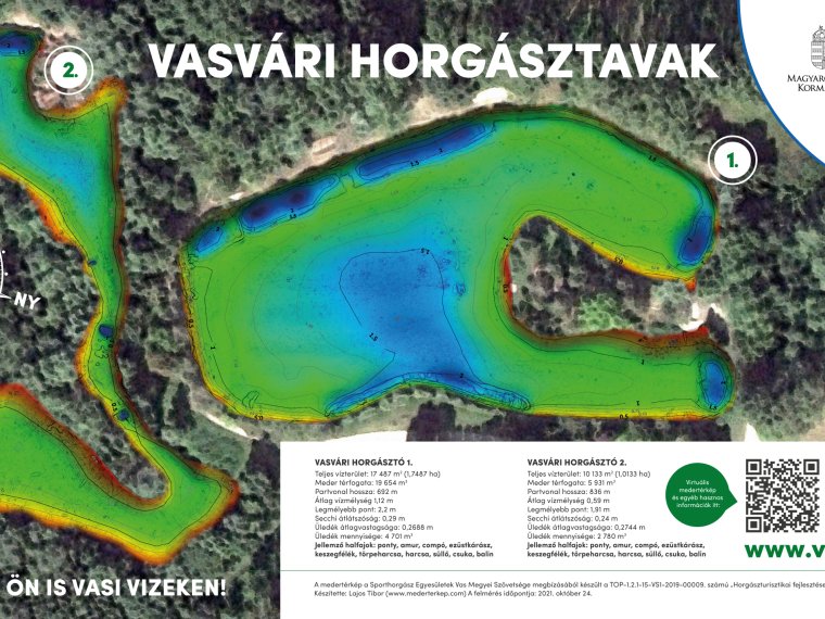
In the lakebed, there is an average twenty-centimeter-thick layer of mud, which lies on a hard substrate. Its shore is steep and suddenly deepens. The 'U'-shaped water shared by the peninsula is one and a half meters deep in the middle, and only 1.2 meters deep at the ends. The deepest trench, 30 cm deeper and 6-7 meters wide, can be reached from the tip of the peninsula.
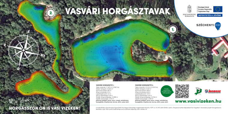
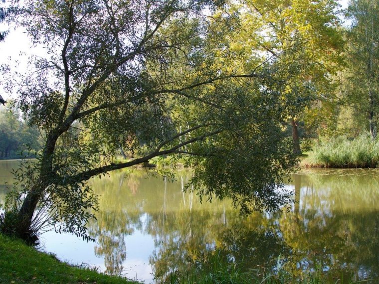
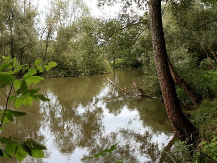
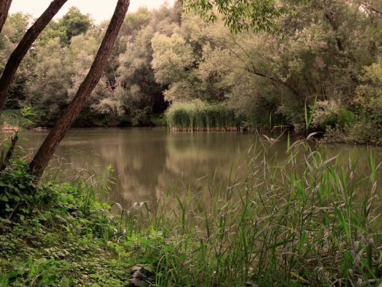
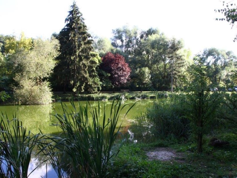
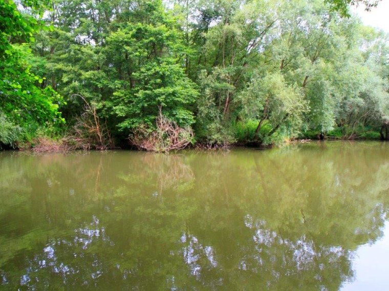
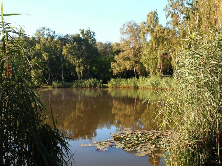
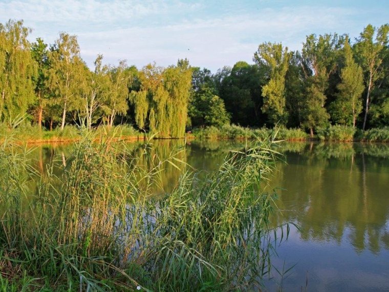
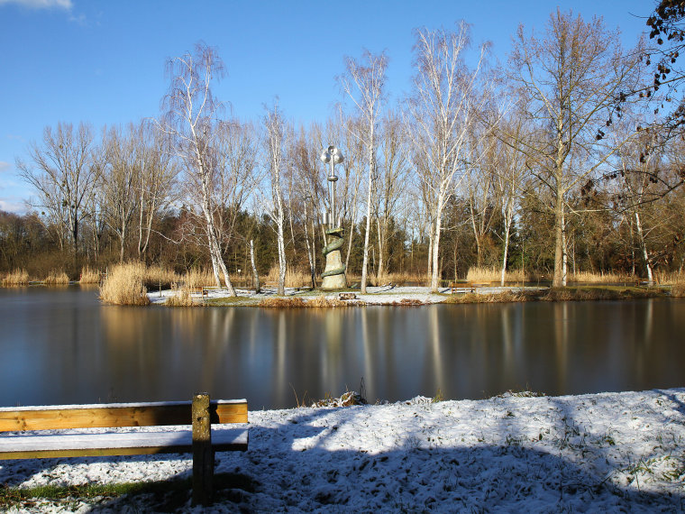
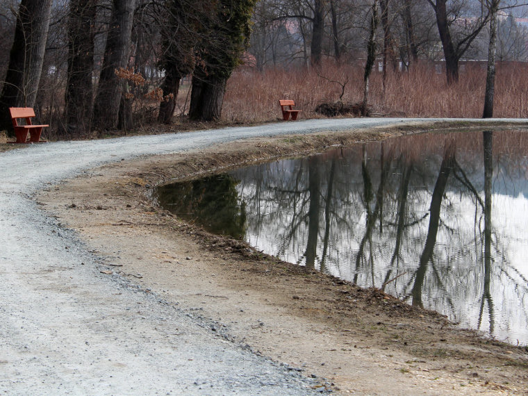
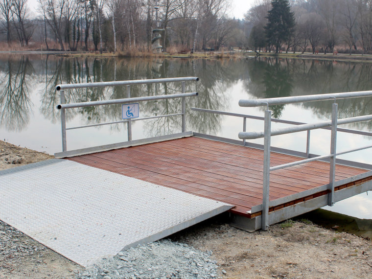
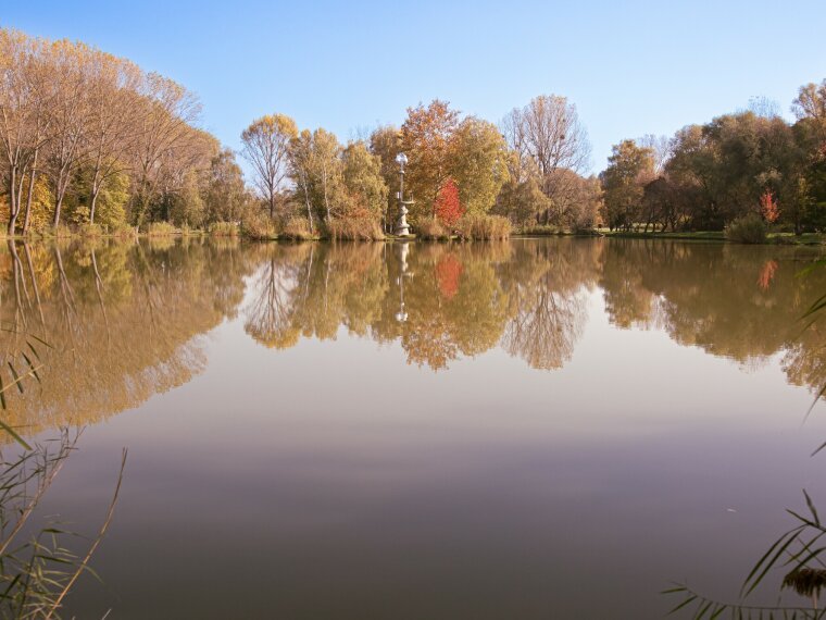
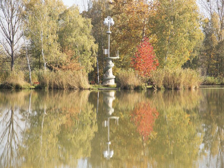
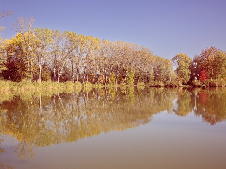
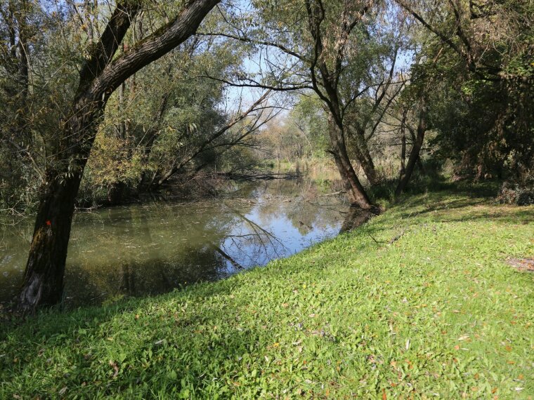
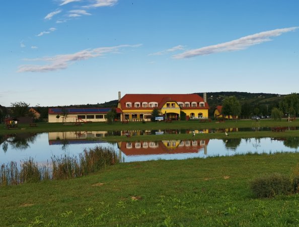
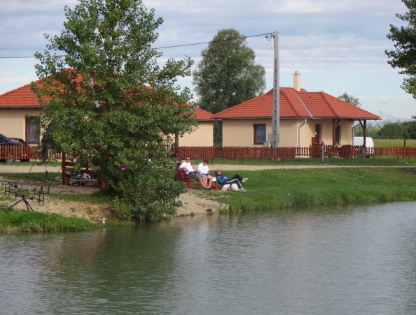
The shore of the artificial lake with a natural shore is made more diverse by reeds, bushes, and groves. The smaller lake is dotted with trees and bushes and rich in aquatic plants, while the larger lake is surrounded by a boardwalk and is easy to fish.

Gallery
Downloadable Documents
- Vasvári tó medertérkép (6.25 MB, PNG)
Related ticket consignee
- Vasvári Petőfi Fishing Association (9800 Vasvár, Bartók B. u. 4.)
info
Average depth: 1,3
Bed / Bottom: muddy, hard underneath
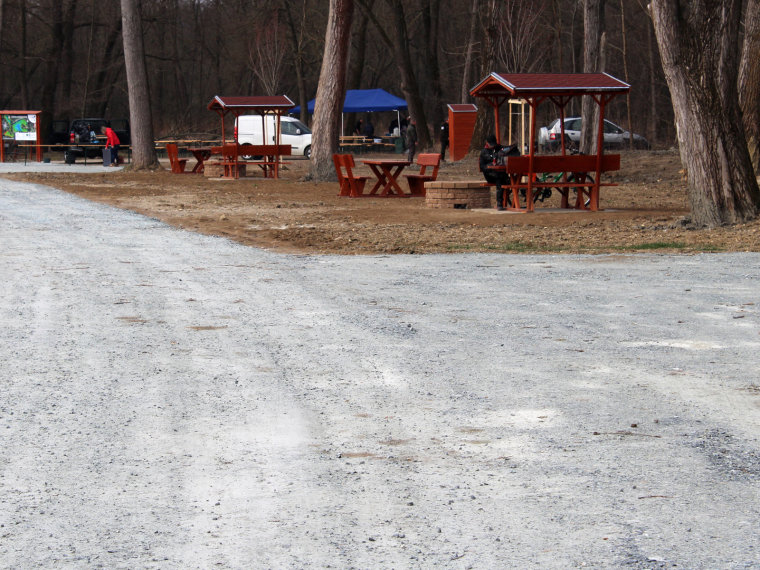
Stalls: there is none
Vegetation: reeds, bushes, groves
Dániel Szabó - fishing guard
06/70-33-99-713
Vasvár can be approached from road 8. Arriving from Budapest, you have to turn left, i.e. towards the south, from the main road towards the city - going inwards, you have to turn right (old post office building on the left) - the gravel road leads to the nearby Csónakázó lake.
GPS coordinates:47.05108803, 16.78993106


