Raba
ShareThe catchment area of the Rába River extends to the southern slopes of the Styrian Alps, the Őrség hill region, the N-NW side of the Vasi-hegy and Kemeneshát, the Kemenesalja, the Sokorói-halomvidék, the N of the Keszthelyi-hegység, the NW slopes of the Bakony and the Kisalföld and the Fertő-tó region. Its major tributaries are the Lapincs, the Pinka, the Sorok, the Gyöngyös, the Répce-flood canal, the Herpenyö and the Marcal. The entire vasi section of the Rába River is 790.7 ha and winds its way through the county for nearly 140 km.

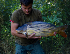
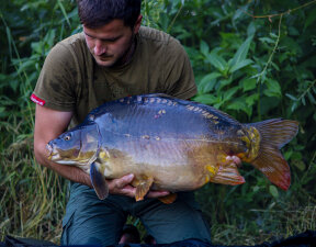
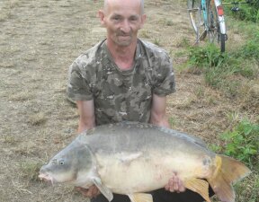
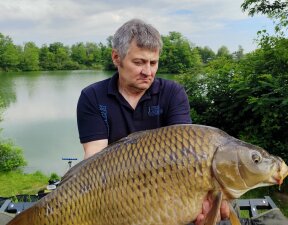
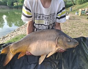
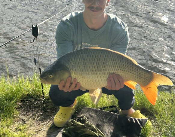
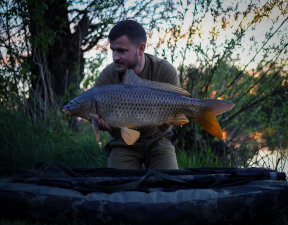
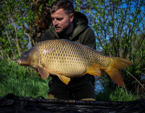
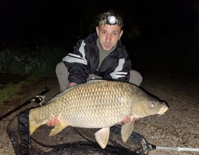
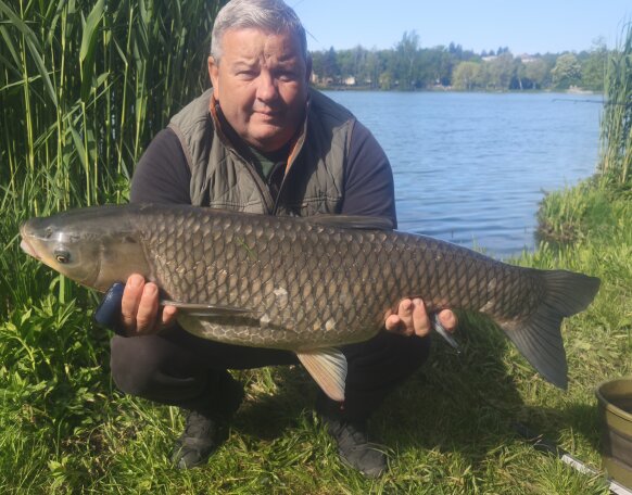
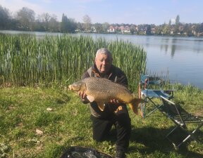
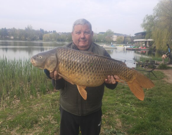
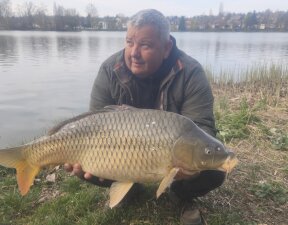
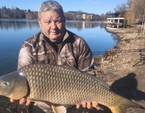
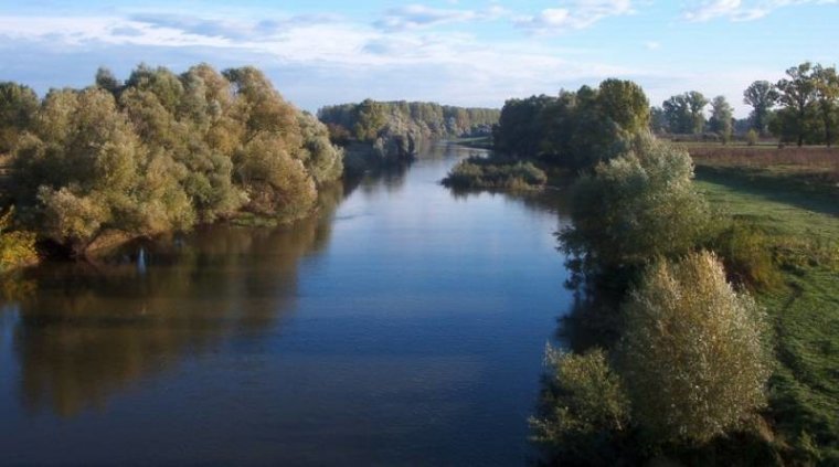
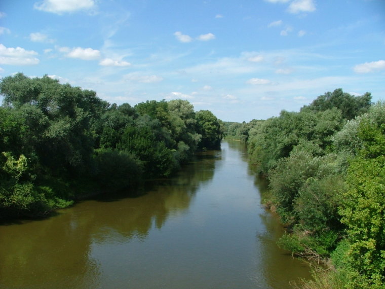
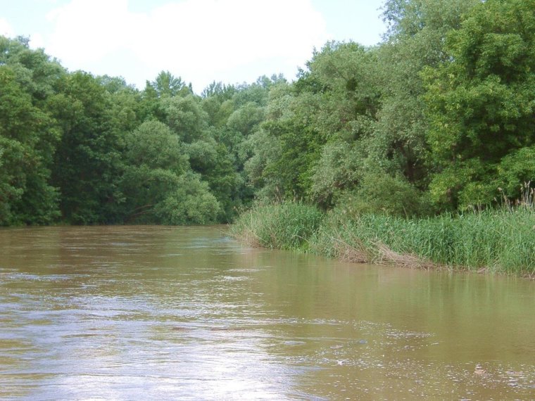
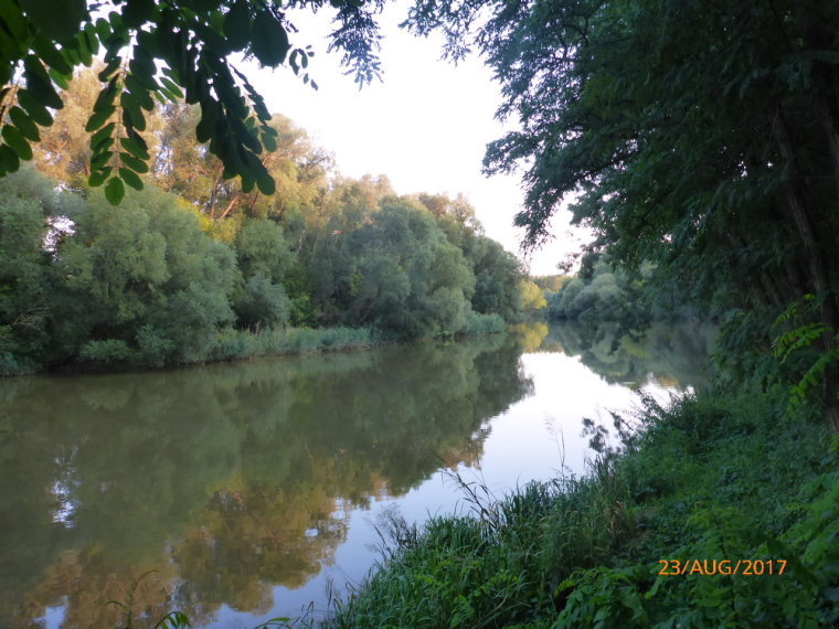
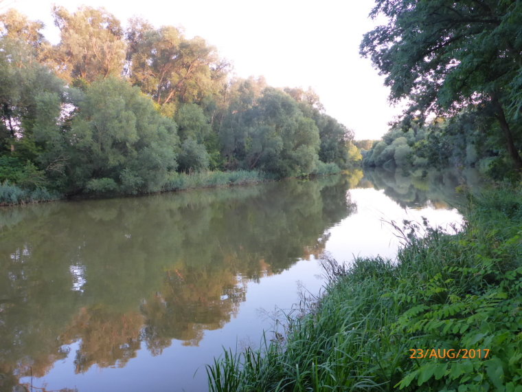
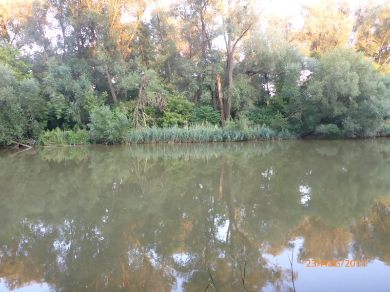
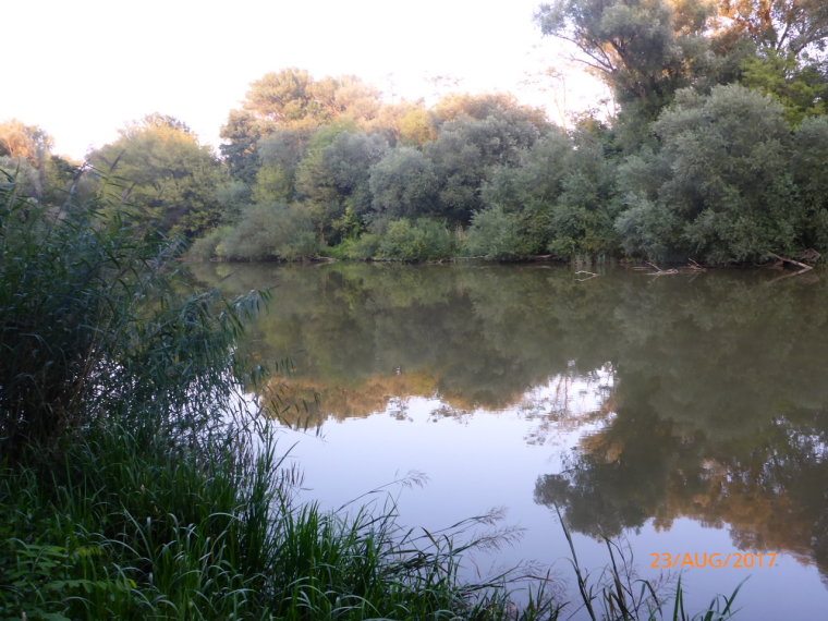
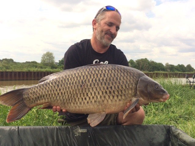
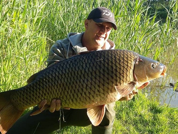
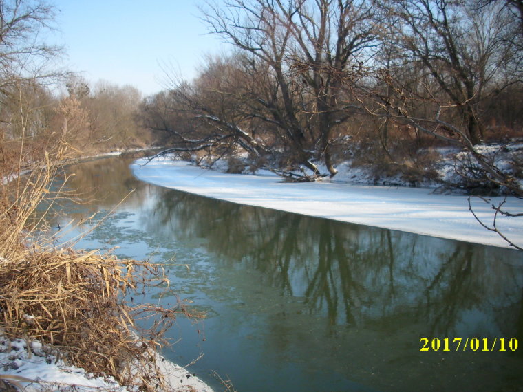
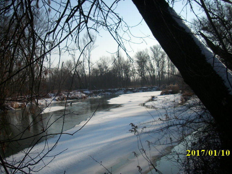
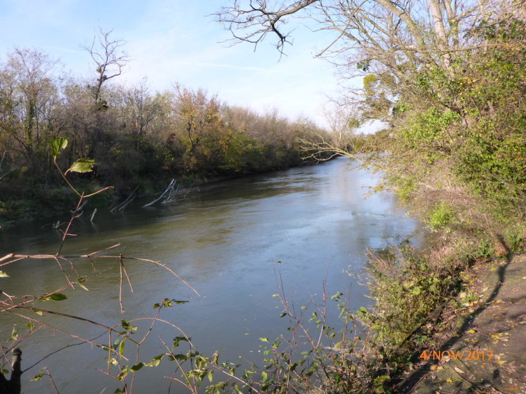
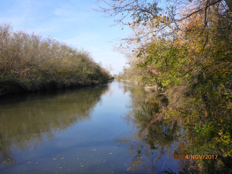
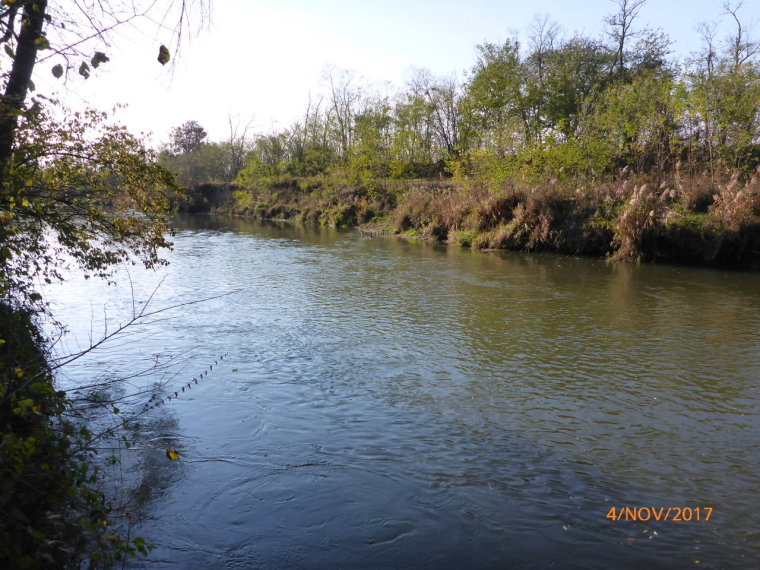
The width of the river varies between 20 -50 m, and its average depth is 2-3 m. The typical bottom is gravelly, gravelly, but we can rarely find muddy areas. The number of fish species found in the river of the decade is 53, of which the typical fish species are mullet, bream, chub, bream, carp, crucian carp, perch, pike and catfish. The Rába River reaches Hungary above Alsószölnök, the section belonging to the Vas County Association of Sport Fishing Associations begins here and continues to the Nicki dam.
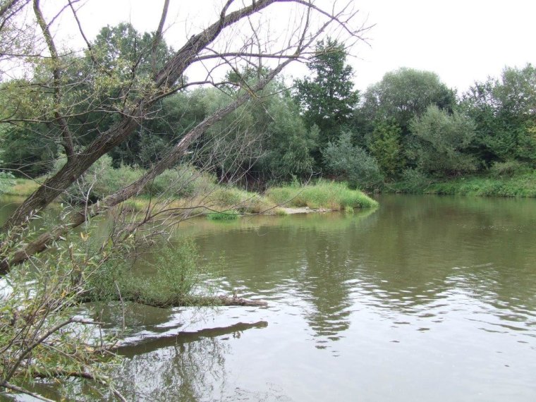
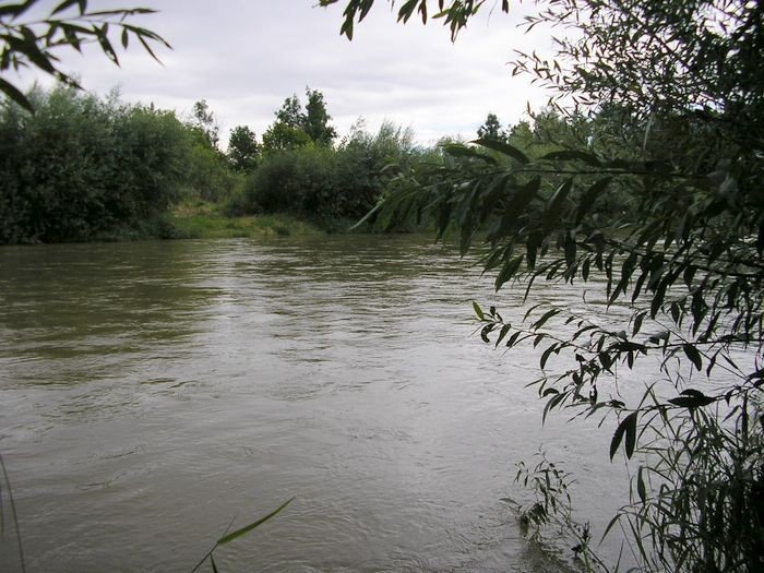
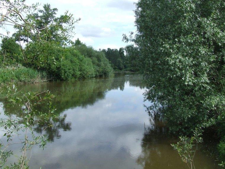
The Rába section of the river is characterized by a constant water level and a wonderful whitewater environment. It has an awful lot of faces, thanks to the many bends and structures it encounters along its way. It is usually shallow, but its several kilometer long dammed sections and water channels hide deep parts.
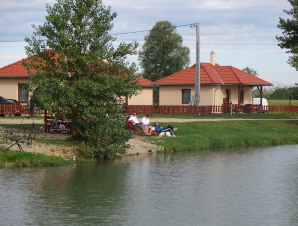
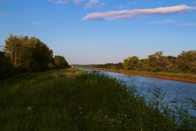
The part above Alsószölnök resembles a slow-flowing, winding canal. Below the dam, it is a wide mirror, but when it reunites with the artificial canal, it is almost like a river. At Szentgotthárd, it is dammed again, a charming section, and then its narrow lower water, starting from a wide mirror, is strengthened by the Lapincs stream and soon reaches the dam and power plant there at the height of Magyarlak-Csörötnek, as well as the artificial canal, which is 2.5 km long. It is an ideal location for family fishing tourism.
The even, slow-flowing water of the canal makes it ideal for river fishing, allowing you to try out all fishing methods. At Körmend, the Pinka arrives from the left, but here too there is a dam with a power plant and a canal, then the shallow urban section, where the Rába once again takes on the form of a real whitewater river. At Ikervár, there is another dam in the main bed, and at the end of the artificial canal, the water mass of the river diverted here rushes over the first Hungarian-Russian power plant, so that the branch, supplemented by the Csörnöc-Herpenyő stream, returns to its original bed.


Gallery


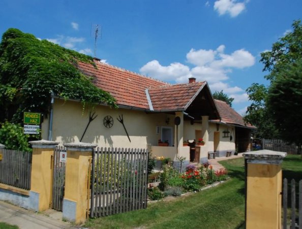
Nearby ticket dealer fishing shops
- Fishcentrum Ltd. (9600 Sárvár, Alkotmány u. 4.)
- Mini-Zoo Ornamental Animal and Fishing Shop (9700 Szombathely, Szily János u. 17)
Related ticket consignee
- Fishing Association Szentgotthárd (9790 Szentgotthárd, Hunyadi u. 21.)
info
Average depth: 2-5
Bed / Bottom: gravel, gravel
Stalls: fallen trees in some places
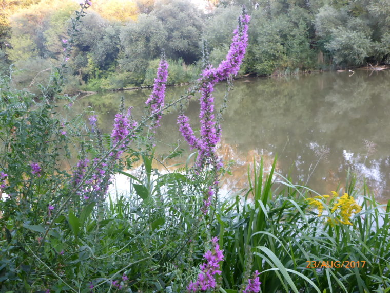
Vegetation: reeds, sedges, woodlands
Alsoszölnök-P.molnári: Sipos Károly 06/7033-99705;
P.molnári-Ikervár: Fördős István 06/7033-99706;
Ikervár-Nick: Konyher Tivadar 06/7033-99704;
Rába can be reached mainly from the section of road 8 between Kám and Szentgotthárd, from the roads around Rum-Sárvár-Répcelak, as well as from bridges and dams.
Ikervár: From Budapest - Highway 7/M7 - Székesfehérvár - Highway 8 - At Kám, turn right towards Szombathely on Highway 87 - At Rum, turn right at the roundabout towards Sárvár - After Meggyeskovácsi, turn right at the first intersection (at the end of the road you can see a campsite) - access road - leads to the shore, the dam and the parking lot.
,