A bed map is made of four iron fishing lakes
We would like to inform our fellow fishermen that, depending on the weather, 16-19 August 2021. A survey will be conducted on Abért Lakes, Máriaújfalu Hársas Lake, Vasvár Boating Lake and Celldömölk Lake to create a riverbed map TOP-1.2.1-15-VS1-2019-00009. "Fishing tourism developments in Vas county".
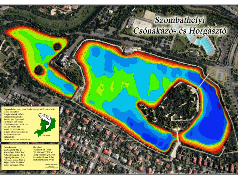
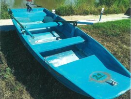
We respectfully ask our fellow anglers not to interfere with the survey these days with their fishing activities. If the measuring boat is sailing on the water, fishing should be avoided for a short time. With the help of the complex measurement system we get a perfect picture of the lake (bed depth, sediment thickness) and fish stock. The depth, the convexities and the thickness of the sediment are illustrated by a map with a coordinate grid. In addition, larger objects can be identified based on an image of the riverbed. Accurate data on bed volume and sediment volume are recorded on a layer-by-layer basis, which is refined by probe monitoring in addition to ultrasonic measurement. When estimating the fish stock, the software classifies the amount of detected fish into three size categories, with the help of which we get important information about the fish stock. Once completed, the riverbed maps will be available on the affected waterfront and on the vasivizeken.hu website.
Thank you for your understanding and cooperation!
Vas County Association of Sport Fishing Associations


